

Fleet Management
Real time image recognition, high-accuracy positioning and collective user data to propose the best and most efficient itineraries to road users.

Real-time Traffic Updates
Real-time alerts for traffic congestion will help to counteract the problem in an early stage and to identify and communicate accidents faster than ever before.
Public Transport Information
GaliGo enables it´s users to follow public transport´s actual location at all times and allows citizens to locate their next bus at all times, with unprecedented precision.
Delivery Tracking
GaliGo can schedule deliveries, track them from the moment they are dispatched until they arrive and provide information on missing deliveries due to impractical schedules.

Road Anomaly Detection
Roadworks and poor road conditions will be detected automatically in a matter of seconds.

3D & HD City Mapping
To offer a connected map updated in real time with the latest data collected.


GaliGo answers the challenges of today and tomorrow
Data Collection
The eHermes receiver, deployed on urban vehicles such as cars and buses, takes images of the surroundings and tags them with geolocation data from satellites. That data is then complemented with user data via the GaliGo application for a fully integrated and complete database.
Image Processing
Once the raw data is recorded and stored, it is processed by high-speed automated image recognition algorithms. These detect and highlight the relevant elements and anomalies on the recorded images, and they absorb the new data to enhance the algorithms for future detection.
City Mapping
Using the processed and geolocated images, GaliGo merges them into comprehensive and interactive 3D city maps. These allow for the identification of anomalies at a glance and open the door to a variety of new applications of the technology.
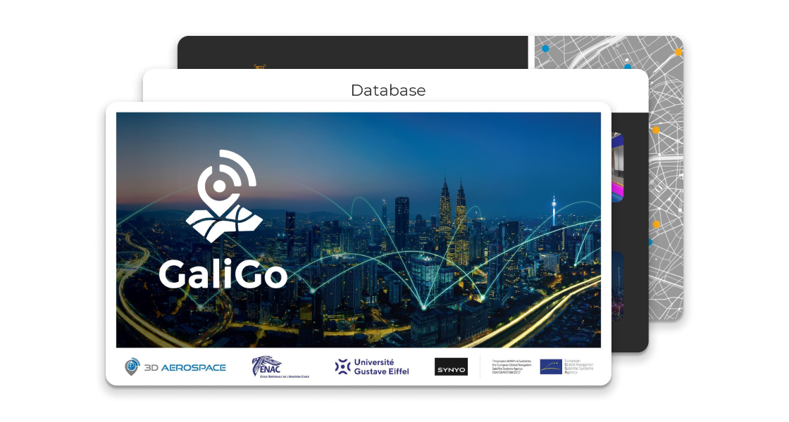
GaliGo powered by 3D Aerospace

Build up the solution of tomorrow
with today collaboration
We would love exchanging with you on your own challenges and difficulties to better shape GaliGo. If you would like to be part of the GaliGo in order to solve tomorrow challenges, please fill in the form on the left, we will be in touch with you shortly.

Partners

The project eMAPs is funded by the European Global Navigation Satellite Systems Agency GSA/GRANT/08/2017

3D city mapping, high-accuracy geolocation, and smart city solutions for more sustainable and efficient urban communities.
E-Mail: contact@3Daerospace.eu